
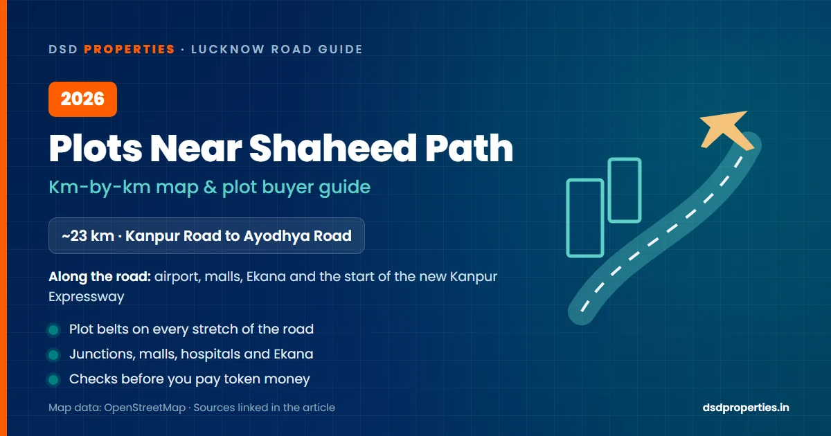
Plots Near Shaheed Path Lucknow 2026: Km-by-Km Map & Buyer Guide
Sources: Wikipedia, OpenStreetMap road data, Amar Ujala, Amrit Vichar, Free Press Journal, Organiser. Every news item links to its source. Distances are measured along the road from the Kanpur Road end.
🔴 Latest Update — checked on 15 October 2026
- 14 July 2026: Union minister Nitin Gadkari said the DPR for the elevated road and metro on Shaheed Path will be ready by December this year. It is planned as a three-tier corridor based on Malaysian technology. (Amar Ujala, Amrit Vichar)
- 13 July 2026: The 63 km, six-lane Lucknow–Kanpur Expressway was opened by Defence Minister Rajnath Singh with Nitin Gadkari and CM Yogi Adityanath. It cost about ₹4,200 crore and opened to traffic on 14 July. The trip now takes 35–45 minutes. (Amar Ujala, Amar Ujala)
- 13 July 2026: The Centre approved preparing the DPR for a 23 km elevated corridor on Shaheed Path, from the airport side, with ground-breaking targeted by December 2026. (Free Press Journal)
- 18 June 2026: Rajnath Singh, Lucknow's MP, sent Gadkari a proposal for a 22–23 km four-lane elevated road above Shaheed Path, from Amausi airport to Kamta Chauraha on Ayodhya Road, for signal-free travel. (Amar Ujala)
If you live in Lucknow, you have almost certainly driven on Shaheed Path. It is the long road that takes you from Kanpur Road, past the airport, to Lulu Mall, Ekana Stadium and Gomti Nagar Extension, and out to Ayodhya Road, without going through the old city.
It was built as a bypass: Wikipedia records that work began in 2001 and the road was finished in 2012, so that traffic between Kanpur Road and Faizabad Road would not have to enter the city (Wikipedia). Today it is much more than a bypass. Some of Lucknow's busiest malls, hospitals and newest housing belts sit along it, and in 2026 it became the starting point of the new Lucknow–Kanpur Expressway.
If you are looking for a plot near Shaheed Path, this guide walks the whole road kilometre by kilometre, with an interactive map. You can see which junction, mall or hospital is close to the plot you are being shown, and how far away it really is.
📍 Shaheed Path on the Map
The orange line is Shaheed Path itself, drawn from OpenStreetMap road data. Orange pins are the four big road junctions; teal pins are landmarks right beside the road; grey pins are a little off it, with the distance given.
🗺️ Loading the Shaheed Path map…
Tap any pin for details. Road line and distances: © OpenStreetMap contributors (ODbL), measured from the Kanpur Road end and rounded. Map: Google.
🛣️ Km-by-Km: What Is Where
Read it from left to right, starting at Kanpur Road (km 0) and ending at Ayodhya Road (about km 23).
- km 0 · Kanpur Road (Transport Nagar)Western start of Shaheed Path, on the Kanpur–Lucknow road at Transport Nagar.
- km 1.8 · CCS International AirportChaudhary Charan Singh International Airport (Amausi), about 1.4 km from the road near its first two kilometres.
- km 5.8 · SGPGI (off Raebareli Road)Sanjay Gandhi PGI is on Raebareli Road, about 2.6 km south of Shaheed Path.
- km 6.8 · Raebareli Road junctionShaheed Path crosses Raebareli Road (NH-30) here.
- km 10.9 · Medanta HospitalMedanta super-speciality hospital, about 300 m from the road.
- km 11.8 · Lulu MallLulu Mall sits right on Shaheed Path, about 100 m from the carriageway.
- km 14.1 · Sultanpur Road – Ahimamau FlyoverShaheed Path crosses Sultanpur Road (NH-731) on the Ahimamau Flyover.
- km 15.3 · Phoenix Palassio MallPhoenix Palassio mall, about 150 m from the road.
- km 15.7 · Ekana Cricket StadiumBRSABV Ekana Cricket Stadium, about 400 m from the road.
- km 15.3 · IIIT Lucknow (CG City side)IIIT Lucknow, about 1.6 km east of the road on the CG City side.
- km 18 · Gomti Nagar ExtensionGomti Nagar Extension housing sectors lie along this stretch.
- km 21.2 · Gomti Nagar Railway StationGomti Nagar railway station, about 700 m from the road.
- km 21.9 · Vibhuti KhandVibhuti Khand (offices, hotels, hospitals), about 900 m west of the road.
- km 22.9 · Ayodhya (Faizabad) RoadNorthern end of Shaheed Path, on Ayodhya (Faizabad) Road on the Chinhat side.
| About km | Junction | Road |
|---|---|---|
| 0 | Transport Nagar | Kanpur Road |
| 6.8 | Raebareli Road junction | Raebareli Road (NH-30) |
| 14.1 | Ahimamau Flyover | Sultanpur Road (NH-731) |
| 22.9 | Northern end | Ayodhya (Faizabad) Road |
The Four Stretches of Shaheed Path
Kanpur Road to Raebareli Road
Shaheed Path begins on Kanpur Road at Transport Nagar. The airport is about 1.4 km from the road near its first two kilometres, which is why this end matters for anyone who flies often.
- Transport Nagar (km 0): the start, on Kanpur Road.
- Airport (around km 1.8): Chaudhary Charan Singh International Airport, Amausi.
- Lucknow–Kanpur Expressway: the new expressway starts from the Amausi / Shaheed Path side of the city, with an 18 km elevated section near Lucknow (Organiser).
- SGPGI: on Raebareli Road, about 2.6 km south of Shaheed Path.
Raebareli Road to Sultanpur Road
After crossing Raebareli Road, the road turns north-east towards Sultanpur Road. This is where the big shopping and hospital landmarks start.
- Raebareli Road junction (km 6.8): crossing with NH-30.
- Medanta Hospital (around km 10.9): about 300 m from the road.
- Lulu Mall (around km 11.8): right on Shaheed Path, about 100 m from the carriageway.
- Sushant Golf City: the township lies to the south-east of this stretch; its centre is about 3 km from the road.
- Ahimamau Flyover (km 14.1): Shaheed Path goes over Sultanpur Road (NH-731) here.
Sultanpur Road to Gomti Nagar Extension
The busiest stretch for shopping, sport and new apartments.
- Phoenix Palassio Mall (around km 15.3): about 150 m from the road.
- Ekana Cricket Stadium (around km 15.7): about 400 m from the road.
- IIIT Lucknow: about 1.6 km east, on the CG City side.
- Gomti Nagar Extension (around km 18): housing sectors along this stretch.
Gomti Nagar to Ayodhya Road
The last stretch runs past Gomti Nagar and ends on Ayodhya (Faizabad) Road.
- Gomti Nagar Railway Station (around km 21.2): about 700 m from the road.
- Vibhuti Khand: Lucknow's office and hotel hub, about 900 m west of the road.
- Ayodhya Road (km 22.9): the northern end, on the Chinhat side of the city.
🏗️ The Planned Elevated Corridor
Shaheed Path carries heavy traffic, so a second level is being planned above it.
| Length | About 22–23 km (Amar Ujala, Free Press Journal) |
| Route | From the airport side to Ayodhya Road — Amar Ujala names Kamta Chauraha as the end point |
| Design | Three tiers: Shaheed Path at ground level, an elevated road above it, and a metro line above that (Amrit Vichar) |
| Status | The Centre approved preparing the DPR in July 2026. The target is to finish the DPR and hold the ground-breaking by December 2026 (Amar Ujala, Free Press Journal) |
| Not announced yet | Total cost and the completion date |
🏠 Buying a Plot Near Shaheed Path: Stretch by Stretch
Most people looking for a plot here want three things: quick access to Shaheed Path, a clean title, and a location that keeps growing. This is how the road's four stretches line up with the plot belts we cover in detail.
| Stretch | Plot belts to look at | Our detailed guide |
|---|---|---|
| km 0 – 6.8 Kanpur Road → Raebareli Road | Plots off Kanpur Road, at the airport end of Shaheed Path | Plots on Kanpur Road |
| km 6.8 – 14.1 Raebareli Road → Sultanpur Road | Plots off Raebareli Road; Sushant Golf City lies south-east of this stretch | Plots on Raebareli Road Sushant Golf City |
| km 14.1 – 19 Sultanpur Road → Gomti Nagar Extension | Plots along Sultanpur Road beyond the Ahimamau Flyover; LDA plots in Gomti Nagar Extension | Plots on Sultanpur Road Gomti Nagar Extension |
| km 19 – 22.9 Gomti Nagar → Ayodhya Road | The established Gomti Nagar and Vibhuti Khand side | Vibhuti Khand |
💰 Price reference
From our Top 10 Posh Areas guide (99acres locality data, May 2026): prime LDA-approved plots in Gomti Nagar Extension sectors such as Sector 4 can reach ₹9,000–14,000 per sq ft, and land in Sushant Golf City averages around ₹10,200 per sq ft. Rates on the Kanpur, Raebareli and Sultanpur Road sides are in their own guides above. Always get the current rate for the exact plot before you decide.
✅ Before you pay token money for a plot near Shaheed Path
- Check the real distance. Brokers often say "2 minutes from Shaheed Path". Find the plot on the map above and see the actual km and distance for yourself.
- LDA-approved layout. How to check an LDA-approved map
- Not an illegal colony. LDA illegal colony list
- LDA or Zila Panchayat? The rules and the risks are different. LDA vs Zila Panchayat
- Seller's name in the Khatauni and mutation done. Dakhil Kharij guide
- No loan on the plot. Encumbrance certificate
- Farm land? It must be converted to residential first. Land conversion guide
- Plot in a private project? Check its UP RERA registration number.
❓ Frequently Asked Questions — Shaheed Path Lucknow
How long is Shaheed Path in Lucknow?
About 23 km. Wikipedia gives 23–23.55 km; our measurement along the road on OpenStreetMap data comes to 22.9 km from Kanpur Road at Transport Nagar to Ayodhya (Faizabad) Road.
Where does Shaheed Path start and end?
It starts on Kanpur Road at Transport Nagar and ends on Ayodhya (Faizabad) Road on the Chinhat side, passing Raebareli Road (about km 6.8) and Sultanpur Road (about km 14.1) on the way.
When was Shaheed Path built?
Work started in 2001 and the road was finished in 2012, according to Wikipedia. It was built as a bypass so that traffic between Kanpur Road and Faizabad Road would not have to enter the city.
Which malls and hospitals are on Shaheed Path?
Medanta hospital (about km 10.9), Lulu Mall (about km 11.8) and Phoenix Palassio mall (about km 15.3) are all within a few hundred metres of the road. Ekana Cricket Stadium is about 400 m from it at km 15.7.
Is Shaheed Path connected to the Lucknow–Kanpur Expressway?
Yes. The 63 km, six-lane Lucknow–Kanpur Expressway, opened on 13 July 2026, starts from the Amausi / Shaheed Path side of Lucknow. It cuts the Lucknow–Kanpur trip to about 35–45 minutes.
What is the Shaheed Path elevated corridor?
A proposed elevated road of about 23 km above Shaheed Path, from the airport side to Ayodhya Road, with a metro line planned on a level above it. The Centre approved preparing the DPR in July 2026, and the aim is to finish the DPR and hold the ground-breaking by December 2026. Cost and completion date are not announced yet.
Where can I buy a plot near Shaheed Path?
The main plot belts close to Shaheed Path are off Kanpur Road at the airport end, off Raebareli Road, along Sultanpur Road beyond the Ahimamau Flyover, in Sushant Golf City and in Gomti Nagar Extension. Use the map in this guide to check how far a plot really is from the road.
What should I check before buying a plot near Shaheed Path?
Check that the layout is LDA-approved and not in the LDA illegal colony list, that the seller's name is in the Khatauni and mutation is done, that there is no loan on the plot, and whether it falls under LDA or Zila Panchayat. For a plot in a private project, also check its UP RERA number.

Leave a Comment